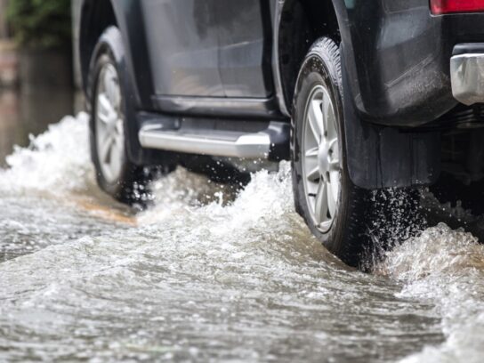
The National Weather Service (NWS) has issued a Flood Watch for Montgomery County from late Wednesday evening through Thursday evening.
The remnants of Hurricane Zeta–approaching the Gulf Coast–along with an upper level low will combine to bring a soaking rain later tonight through Friday afternoon.
“Heavy rainfall from Zeta could lead to some flooding of small streams, creeks, and urban areas,” the NWS stated in the alert. “Rain amounts of 2 to 3 inches are expected with locally higher amounts possible, especially in the metro areas.”
“Scattered incidents of flooding due to heavy rain are possible. Clogged drains due to leaf debris may cause additional flooding concerns, especially in urban areas.”
Instructions from the National Weather Service:
Do not enter or cross flowing water or water of unknown depth. Stay away or be swept away. River banks and culverts can become unstable and unsafe. A Flood Watch means there is a potential for flooding based on current forecasts. You should monitor later forecasts and be alert for possible flood warnings. Those living in areas prone to flooding should be prepared to take action should flooding develop.
A Flood Watch has been issued for areas east of I-81 mainly from Augusta VA to Frederick MD counties. Please visit our website for the latest forecast details: https://t.co/KY2Lizny7N pic.twitter.com/yRl2xLANa9
— NWS Baltimore-Washington (@NWS_BaltWash) October 28, 2020


Comments are closed.